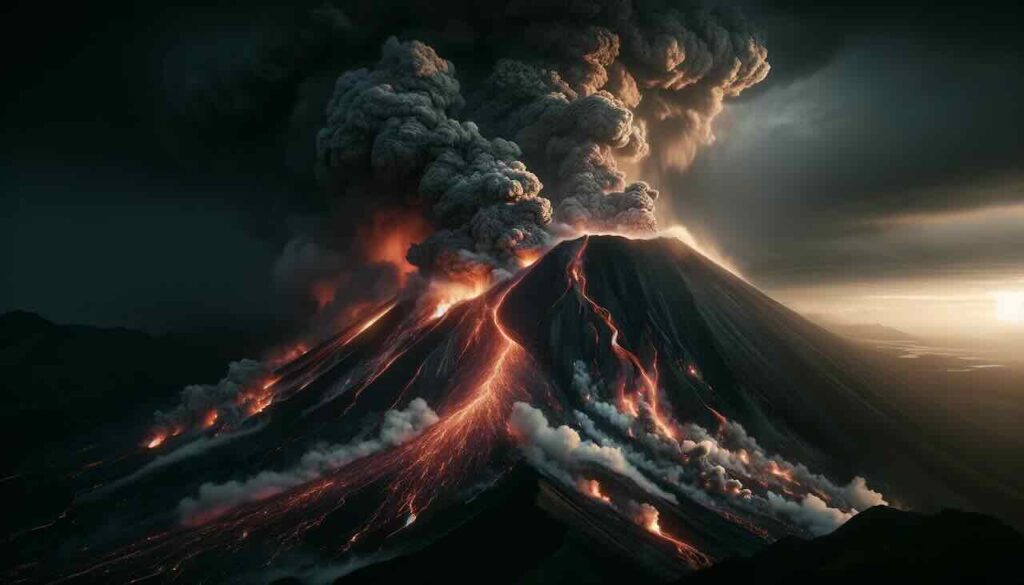
Rising quietly on the border between Gifu and Nagano prefectures, Mount Yakedake (焼岳) is one of Japan’s lesser-known but closely monitored active volcanoes. While its picturesque summit attracts hikers and nature lovers, its underlying geological activity poses real questions for both local communities and disaster preparedness.
In this guide, we’ll explore Yakedake’s eruption history, current volcanic monitoring, and the potential impact of a future eruption.
Quick Facts About Mount Yakedake
- Elevation: 2,455 meters (8,054 feet)
- Location: Border of Gifu and Nagano prefectures (central Honshu)
- Volcanic Type: Stratovolcano
- Status: Active volcano
- Part of: Japan’s “Hyakumeizan” (100 Famous Mountains)
Mount Yakedake is situated within the Japanese Northern Alps, near the popular Kamikochi highland resort and the scenic Azusa River. Its accessibility and beauty make it a popular hiking destination — but also place nearby communities within range of potential volcanic hazards.
Eruption History of Mount Yakedake
Modern Eruptions
1962 Phreatic Eruption
- The most recent eruption occurred in 1962.
- It was a phreatic (steam-driven) explosion, ejecting volcanic rocks and ash near the summit.
- While no casualties were reported, minor property damage occurred around the crater.
1907 Eruption
- A larger phreatic eruption produced an ash plume reaching up to 1,000 meters.
- Ashfall was recorded in nearby villages.
- This event caused localized crop damage but no large-scale disaster.
Ancient Activity
- Geological records suggest Yakedake has erupted intermittently for thousands of years.
- Past eruptions have produced lava domes, pyroclastic flows, and lahars.
- The active crater lake at the summit continues to release sulfur gases today, reminding observers of its ongoing geothermal activity.
Current Monitoring Status
As of 2024:
- The Japan Meteorological Agency (JMA) designates Mount Yakedake as Volcanic Alert Level 1 — meaning “normal” activity, though being an active volcano, it still requires ongoing observation.
- Seismic activity, gas emissions, and ground deformation are monitored year-round to detect early signs of possible eruptions.
What Could Happen If Yakedake Erupts Again?
While Mount Yakedake has not experienced large-scale explosive eruptions in recent history, several scenarios are possible based on past activity:
1. Pyroclastic Flows and Lava Flows
- In a more violent eruption, Yakedake could release pyroclastic flows — fast-moving clouds of hot gases, volcanic ash, and rocks.
- Lava flows are also possible, though past Yakedake eruptions have typically produced smaller lava domes rather than extensive lava rivers.
- Potential danger zones for pyroclastic and lava flows are estimated to extend 5 to 10 kilometers from the crater, potentially affecting:
- Parts of Takayama City (Gifu Prefecture)
- Sections of Nagano Prefecture, including Otari village
2. Ashfall Impact
- Even a moderate eruption could release substantial amounts of volcanic ash into the atmosphere.
- Depending on wind direction, ash could spread across tens of kilometers, potentially affecting:
- Local agriculture (crop damage)
- Transportation (road closures, air traffic disruption)
- Power and water infrastructure
- Building collapses under heavy ash accumulation
3. Lahars (Volcanic Mudflows)
- Lahars — fast-moving mixtures of volcanic ash, water, and debris — pose a serious secondary risk after eruptions, especially during heavy rainfall.
- These mudflows can flow downriver from the mountain into populated lowlands, potentially damaging:
- River systems and bridges
- Roads and railways
- Residential areas along riverbanks
- The Azusa River system, which flows into Nagano’s Matsumoto area, could be particularly vulnerable depending on rainfall patterns following an eruption.
How Big Is the Risk Right Now?
- Currently, the likelihood of an immediate eruption remains low.
- However, as with any active volcano, conditions can change rapidly depending on underground seismic activity, magma movement, and gas emissions.
- Regular public updates from Japan’s meteorological and disaster management agencies are essential for early warning.
Disaster Preparedness for Local Residents
For people living near or visiting Mount Yakedake:
- Familiarize yourself with local evacuation routes and shelters.
- Pay close attention to official volcanic alerts and advisories.
- During hiking trips, stay on designated trails and always check current volcanic activity bulletins before entering the area.
- Emergency kits should include dust masks and goggles, as volcanic ash can severely impact air quality.
Why Yakedake Matters in Japan’s Volcanic Landscape
Japan sits atop the Pacific Ring of Fire, making it one of the most volcanically active countries in the world. With over 100 active volcanoes, including famous peaks like Mount Fuji, Sakurajima, and Aso, Yakedake offers a valuable case study in the challenges of coexisting with nature’s volatile forces.
Despite its lower profile, Mount Yakedake represents:
- The delicate balance between tourism, nature, and geological risk.
- The need for continuous scientific monitoring and public education.
- The importance of community preparedness, even when volcanoes appear calm for decades.
Summary
Mount Yakedake is a breathtaking symbol of Japan’s natural beauty and geological complexity. Though dormant for now, its history of eruptions reminds us that volcanic risk is never completely absent. By staying informed and prepared, both locals and visitors can safely enjoy this beautiful — and potentially dangerous — corner of Japan’s Northern Alps.


